Towards integrity for GNSS-based urban navigation - challenges and lessons learned
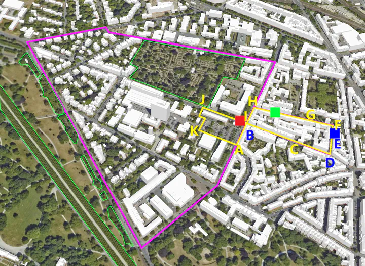
 In the framework of the Research Training Group i.c.sens, various collaborative positioning experiments were carried out in the urban environment around the campus.
For safety critical applications like autonomous driving, high trust in the reported navigation solution is mandatory. This trust can be expressed by the navigation performance parameters, especially integrity. Multipath errors are the most challenging error source in GNSS since only partial correction is possible. In order to ensure high integrity of GNSS-based urban navigation, signal propagation mechanisms and the potential error sources induced by the complex measurement environment should be sufficiently understood.
In this contribution, we report on recent progress on this topic in our group. We conducted various experiments in urban areas and investigated the behavior and magnitude of GNSS signal propagation errors. To this end, ray tracing algorithms combined with 3D city models are implemented to identify propagation obstructions and quantify propagation errors. A Fresnel zone-based criterion is exploited to determine the occurrence and magnitude of diffraction. GNSS Feature Maps are proposed to visualize the analyses and to predict situations with potential loss of integrity.
To measure the integrity of urban navigation, we developed alternative set-based approaches in addition to the classical stochastic approach. Based on interval mathematics and geometrical constraints, they are sufficient to bound remaining systematic uncertainty and feasible for integrity applications.